

Direct Geo-referencing Progress
The Aeroptic 2.0 system received a major boost in performance in January 2015, as we discovered a significant source of...
![]() ...MAKE EVERY PIXEL COUNT...
...MAKE EVERY PIXEL COUNT...


The Cessna 172 is Aeroptic’s smallest aircraft in Aeroptic’s inventory, but still have great collection capabilities. The 172 is perfect for small imagery collections where it utilizing Aeroptic’s POD based imagery collection platform.
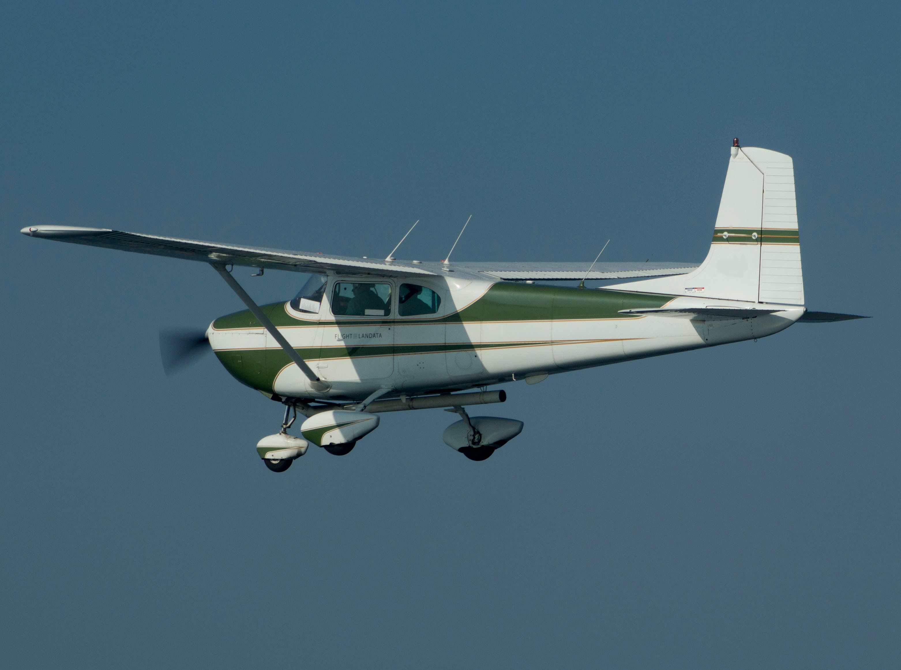
The Cessna 182 is Aeroptic’s second smallest aircraft in Aeroptic’s inventory. The 182 is perfect for small to mid sized imagery collections as well as being a great platform for regional aerial sensor testing and evaluation.

The Cessna 182 is Aeroptic’s primary aircraft of choice for aerial imagery collection services. The 182’s configuration is ideal for any collections up to 1500 km² (580 mi²). The 182 is also a great platform for sensor testing and evaluation.
The Aeroptic 2.0 system received a major boost in performance in January 2015, as we discovered a significant source of...
Today we collected a stretch of breached sea-wall in the Marshfield, MA area. We posted the data to our cloud-based imagery...
Our seamline tools are done. Tie point algorithms have been improved to ignore foliage and bodies of water, and the...
We are in the middle of a significant production run, and wanted to give a big “thanks” to the KEYW division...
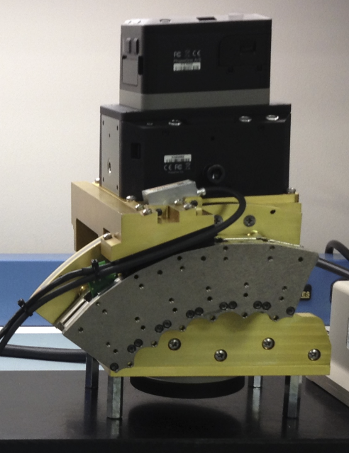
Our KEYW associates in Oldsmar, FL sent us a picture of the new eGimbal configuration we’re working on. This extremely...
Our seamline magnitude tools continue to get more accurate, and the statistics are looking great! The plot on the left...
Aeroptic’s Engineering team just generated the first plots out of our new aerial imagery seamline magnitude tools. These compute the magnitude...
Aeroptic has been awarded a contract from the Open Geospatial Consortium (OGC) to participate in the upcoming “Testbed 11” standardization exercise....
 We started Aeroptic began a simple notion: leverage our decades worth of global experience with the most advanced, government-grade aerial remote sensing technology, and we could dramatically improve upon the traditional aerial imagery methods of responding to natural disasters, monitoring our precious natural resources, and monitoring infrastructure development. From enhancing precision agriculture efforts in the Corn Belt to improving crop yields in emerging nations. Aeroptic is focused on helping the world unlock the power of aerial imagery in geospatial information systems.


